

It would be terrible to beat the gun but even more terrible to disregard the warnings. Far too early, of course, to know what might happen.
It
seems from all the discussion that the European model may be the far
more reliable source for figuring out which way this hurricane could
go..
In
the meantime it seems to me that the mainstream media is blacking out
any real reportingof what might have happened to people in Florida
Keys who failed to evacuate.
Is al-Jazeera the only ones approximating the truth while US media is covering all this up?

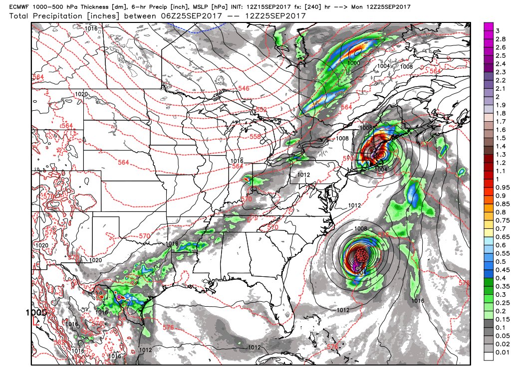
UH OH! Euro 216 Hour shows a potential simultaneous impact on the east coast by two hurricanes...
16
September, 2017
European
Weather Model issued today shows a potential simultaneous
impact on the east coast by TWOhurricanes...
According
to the computer model -- which may be incorrect and may change --
present Hurricane "Jose'" will be within 200 miles of the
New Jersey / New York City coast line next Tuesday, and will continue
north to make a DIRECT IMPACT on New England; while a still un-named
new Hurricane will ALSO be coming up the east coast!
Folks
in New Jersey and New York City are STRONGLY URGED to keep a VERY
watchful eye on these storms and start preparing now . . . just in
case.
Have
emergency food, emergency water, a way to cook if power is out for an
extended period and a power supply (generator) to keep your
refrigerator working and maybe a light or two on in your home.
Keep
your cars and trucks topped-off with gasoline, and have extra fuel
for the vehicle and for any generator you have.
DO
NOT MAKE THE SAME MISTAKES as people in Houston and in Florida made,
by waiting until the day before the storm arrives to try to shop for
food and gasoline. Many of the people in Houston and Florida
found themselves face-t-face with empty supermarket shelves and empty
gas stations.
Prepare
now.
If
the storms pass us by, you can always eat the food and drink the
water later. You can always use the fuel later. But it is
better to HAVE IT and not need it, than to NEED IT and not have it.
Here
is the latest report from Hurricane Hunter aircraft which flew
through "Jose'" this afternoon:
New
Fix from hurricane hunter aircraft. 65 knots - Cat 1
hurricane
Product: Air Force Vortex Message (URNT12 KNHC)
A. Time of Center Fix: 15th day of the month at 18:24:30Z
B. Center Fix Coordinates: 26°54'N 70°00'W (26.9N 70.W)
D. Estimated (by SFMR or visually) Maximum Surface Wind Inbound: 65kts (~ 74.8mph)
H. Minimum Sea Level Pressure: 985mb (29.09 inHg)
I. Maximum Flight Level Temp & Pressure Altitude Outside Eye: 9°C (48°F) at a pressure alt. of 3,047m (9,997ft)
J. Maximum Flight Level Temp & Pressure Altitude Inside Eye: 16°C (61°F) at a pressure alt. of 3,011m (9,879ft)
K. Dewpoint Temp (collected at same location as temp inside eye): 9°C (48°F)
L. Eye Character (Undecoded): SPIRAL BAND
M. Eye Shape & Diameter: Circular with a diameter of 34 nautical miles (39 statute miles)
Euro12z animation of #Jose from Sep 16 to Sep 25. No comment. ;-)
P.S.
It may get even worse. The National Weather Service
Global FOrecast System (GFS) is just insane with it's current run.
Jose gets incredibly close to the U.S. (maybe too close to call
hitting or not Nantucket, Massachusetts between Hour 114-120),
has another storm hitting North
Carolina about hour 252 as a hurricane, has another
storm hitting Florida between hour 312-324 as a
strong tropical storm or probably cat 1 hurricane, AND what's that
between hours 372-384?
The latest on this from BPEarthWatch
No comments:
Post a Comment
Note: only a member of this blog may post a comment.