

Scores of City-Sized Siberian Wildfires Spew 2,500 Mile-Long Plume of Smoke Over Northern Hemisphere
Today’s
satellite pass by NASA’s
LANCE MODIS array
tells a dire story that practically no one in the global mainstream
media is talking about. Northern and Central Siberia is burning.
Scores of massive fires, some the size of cities and small states,
are throwing off a great pall of smoke 2,500 miles long.
18
July, 2016
The
vast boreal forests are lighting off like climate-change-enhanced
natural fireworks. The tundra and permafrost lands — some of them
frozen for hundreds of thousands to millions of years — are thawing
and igniting. But for all of the loudly roaring fires, most of the
major media reporting agencies have thus far produced only deafening
silence.
Country-Sized
Swath of Siberia is Covered With Wildfires

(Large
sections of Russia, Eastern Europe, and Scandinavia are blanketed by
smoke from massive Siberian wildfires in today’s LANCE
MODIS satellite
shot.)
Imagine
an enormous rectangle. At its northwestern end is the Yamal Peninsula
and the shores of the Arctic Ocean. At its southeastern end is Lake
Baikal, nearly 2,000 miles away. The vast expanse between is littered
with fires. Some of these fires are relatively small. But others are
vast, sporting firefronts 20-25 miles wide and revealing individual
burn scars that, according to unconfirmed satellite analysis, appear
to cover as much as 400 square miles of land.
And
it’s not just a case of a smattering of these fires burning across
the broad region. Rather, these massive fires are burning in multiple
clusters, some of which would easily cover a region the size of the
US state of South Carolina. The below image is a 300-by-220-mile box
showing a section of North Central Arctic Siberia between north
latitudes 58.5 and 66.2. Note that a significant portion of the land
area in this satellite capture is covered by very large fires.
(Extensive
swath of fires burn over North Central Siberia. Image shows
a 300-by-220-mile area. Image source: LANCE
MODIS.)
These
very large fires are vigorously burning in a contiguous permafrost
zone of Siberia. During recent years, as human fossil-fuel burning
has continued to warm the Earth, such fires have become more and more
common. Burning not only forest, the fires have also consumed duff,
peat, and, increasingly, recently thawed sections of the permafrost.
Though these fires are now in the process of activating a very large
northern carbon store, and though such an event represents a
dangerous amplifying feedback to human-forced warming, their
occurrence and extent has been greatly underreported by the Russian
government.
Fires
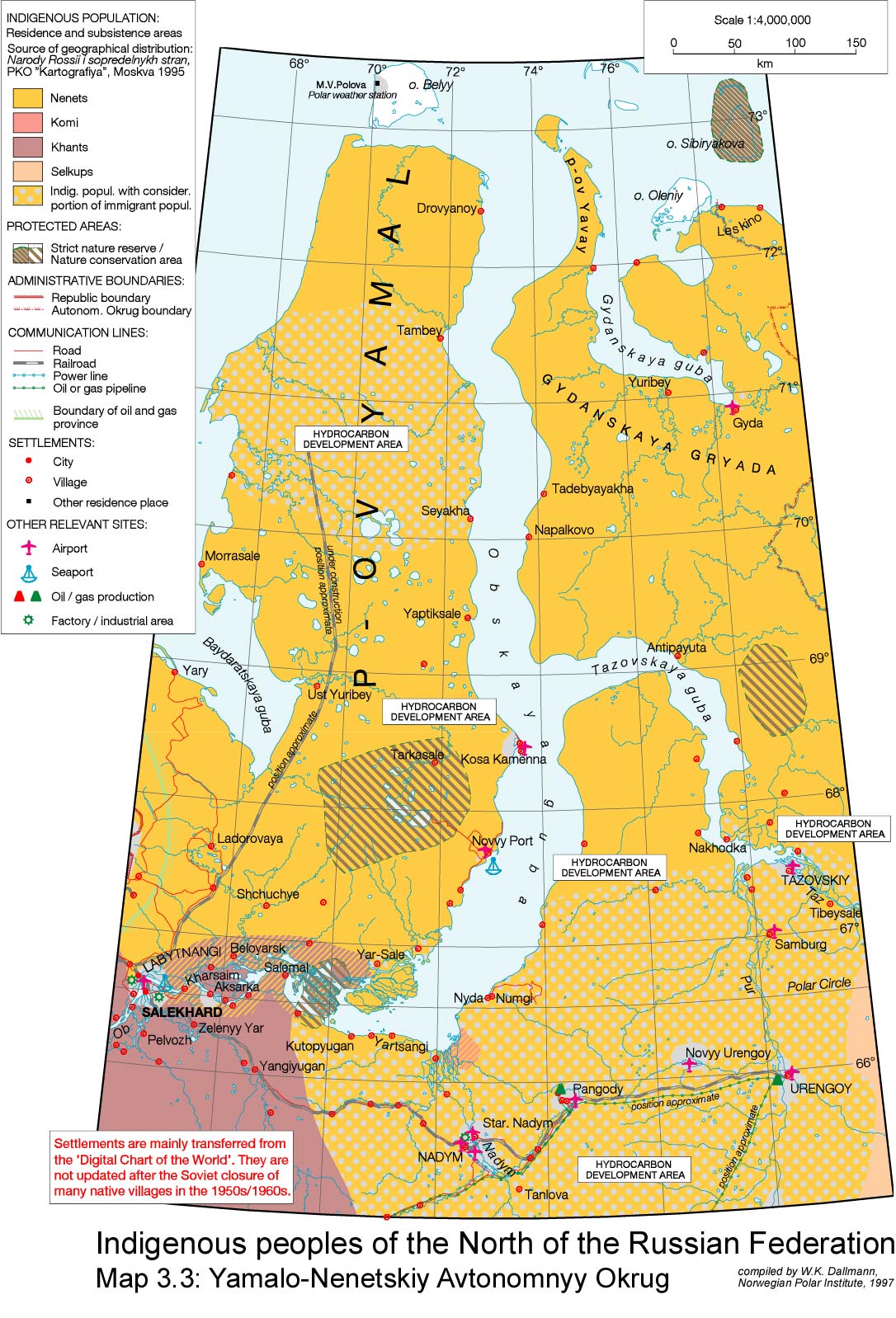
Burning Near Yamal, Frozen Methane Deposits, Fossil Fuel Production
Infrastructure
Further
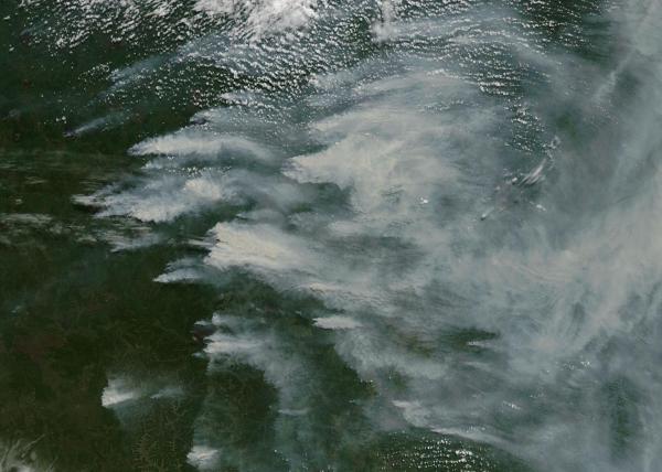
north, even the typically hard-frozen tundra regions are burning.
Near the town of Nuya, along Obskaya Bay just east of Yamal, Russia
and located in the fossil fuel development zone between north
latitudes 66 and 67.3, enormous fires are raging. Like the recent
Fort McMurray fire, these blazes appear to be burning near fossil
fuel infrastructure and development zones.

(Large
fires on the shores of Obskaya Bay in Northwestern Russia on July 18,
2016. Image source: LANCE
MODIS.)
The
Yamal region was also the location of the
recent, and controversial, methane blowholes.
The region sits over large gas deposits, some of which are in the
form of clathrate. And some of the previously stable frozen deposits
appear to be facing an increasing release pressure due to thawing,
the invasion of warm liquid water into the subterranean environment,
and, at the near-surface region, lightning strikes (which were
previously unheard of in this zone) and wildfire pressure.
Up
to 40-F-Above-Average Temperatures Blanket the Northern Fire Zone
Today,
a good number of these fires burn north of the farthest northern
extent of the Siberian tree line in 77 to 86 degrees F (25 to 30 C)
temperatures. For some regions, these temperatures are 30 to 40
degrees F (17 to 22 C) above average. At the northwestern end of the
vast, fire-marred range that now covers a land area larger than most
countries, temperatures near the Arctic Ocean shore at 70.9° N,
81.4° E are 86 degrees F (30 C) — about 40 degrees F (22 C) above
average. Not far away, the wildfires in the above image burn.

(Extreme
heat in the range of 30 to 40 degrees F above average
temperatures [17 to 22 C] near Arctic Ocean shores greatly increases
Arctic wildfire risk. Such extreme heat is related to human-forced
climate change. As the Arctic warms at a rate two to three times
faster than the rest of the globe, such fire-hazard and related
potential for worsening amplifying feedbacks is also likely to
increase. Image source: Earth
Nullschool.)
Despite
increasing prevalence and extent, Siberian wildfires have continued
to be underreported during recent years, despite the fact that out of
all major Arctic permafrost and boreal forest regions — Alaska,
Canada, and Siberia — Siberia has shown the visibly greatest
increase in wildfire frequency and extent. This is likely due, in
part, to a now-documented underreporting
of wildfire extent by the Russian government.
Links
Hat
tip to Colorado Bob
Hat
tip to DT Lange
Hat
tip to Jim Benison
No comments:
Post a Comment
Note: only a member of this blog may post a comment.